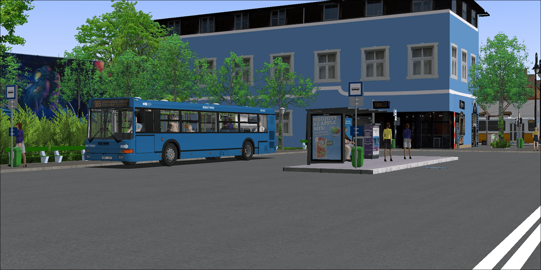
Budapest 65-65A-165
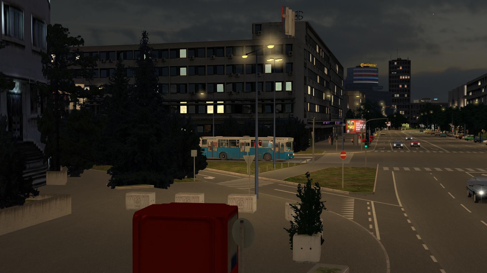
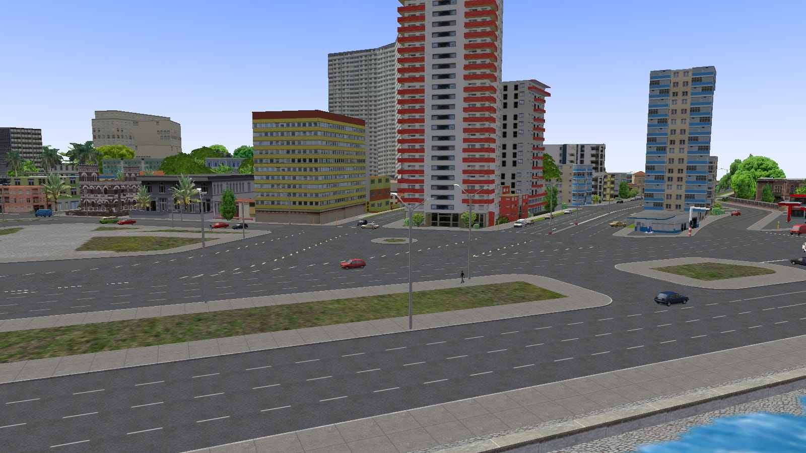
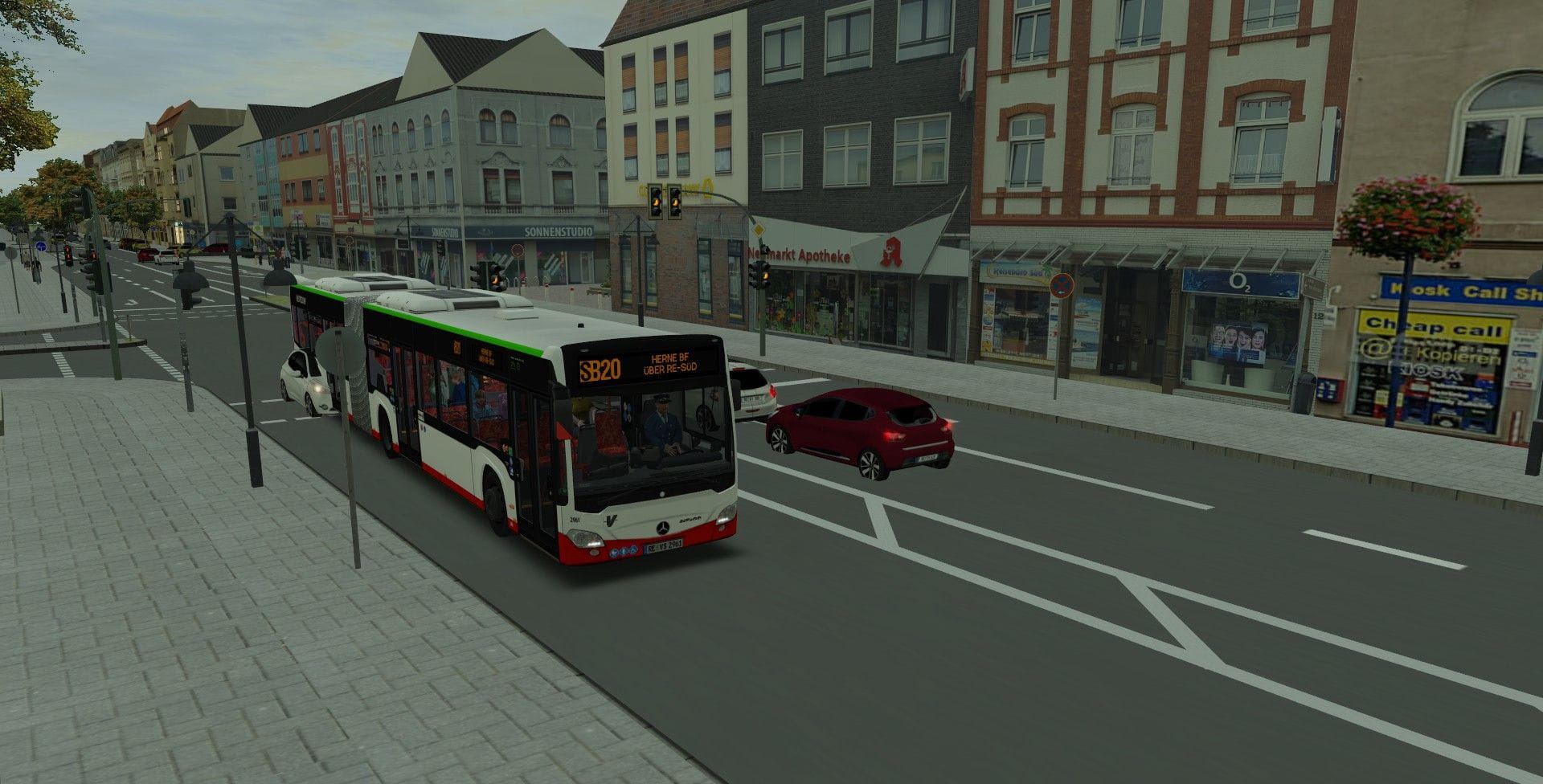
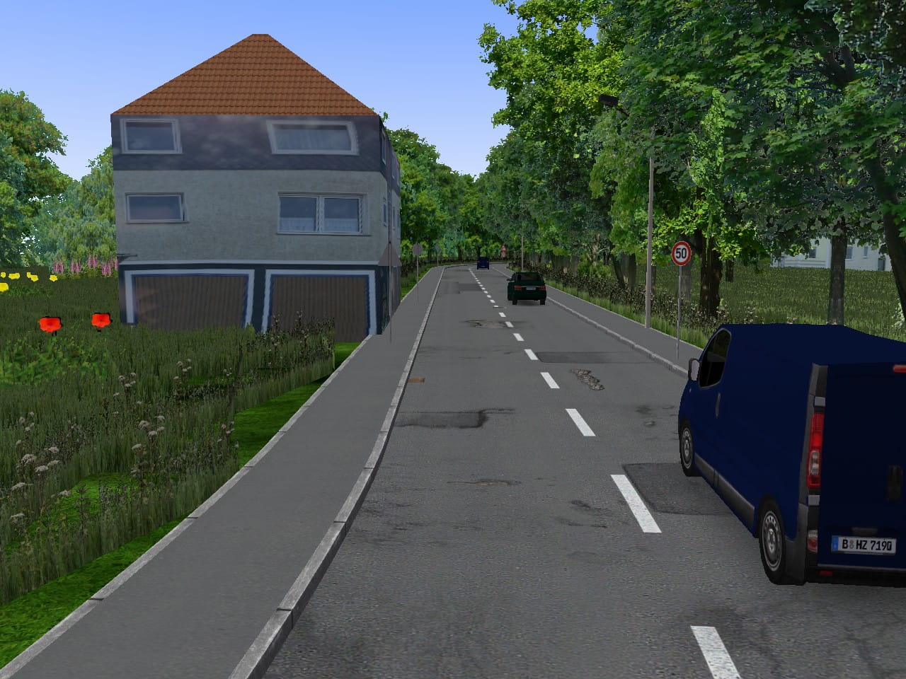
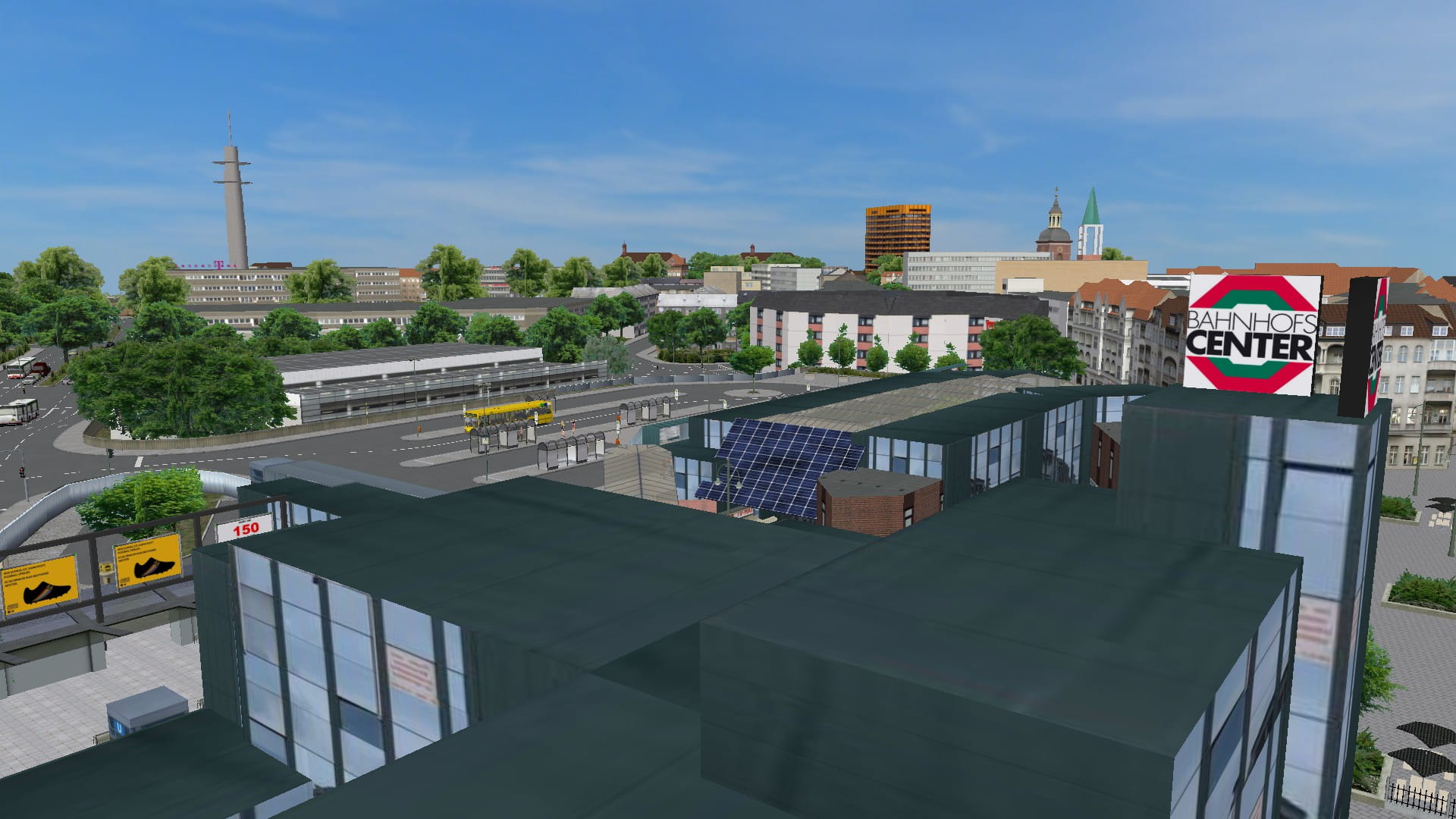
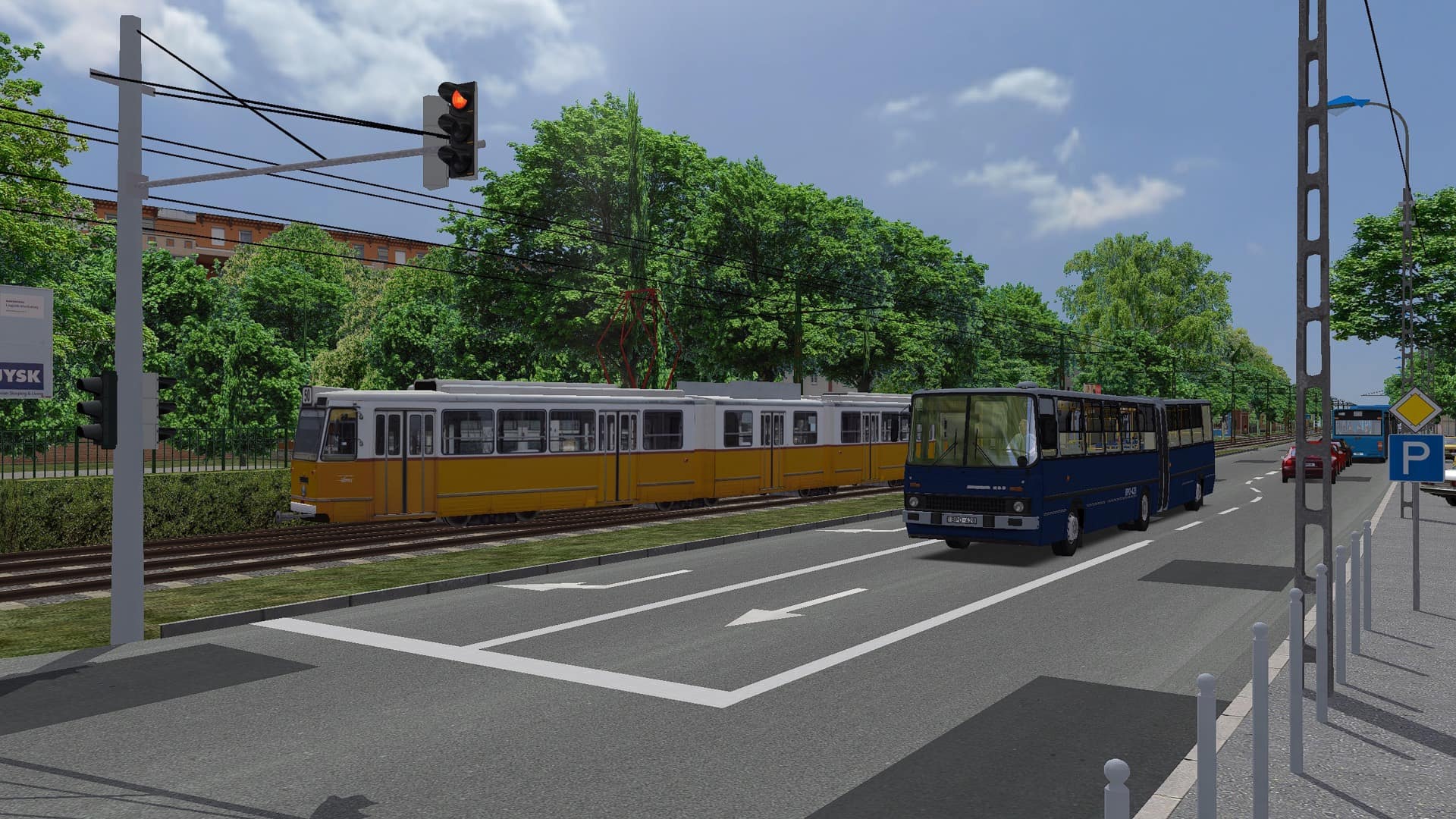
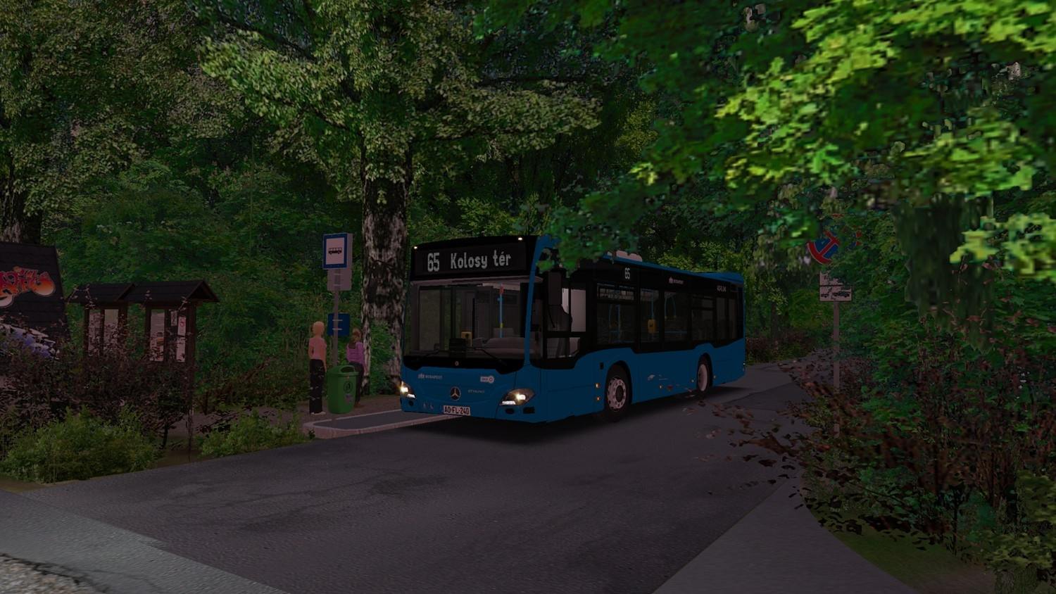
Drive through Budapest's entire 65 line family: starting from Kolosy tér, on the 165 bus along Kolostor út to Remetehegyi út, or choose line 65 through Fenyőgyöngye all the way to Szépvölgyi dűlő.
Kategorie
Drive through Budapest's entire 65 line family: starting from Kolosy tér, on the 165 bus along Kolostor út to Remetehegyi út, or choose line 65 through Fenyőgyöngye all the way to Szépvölgyi dűlő.
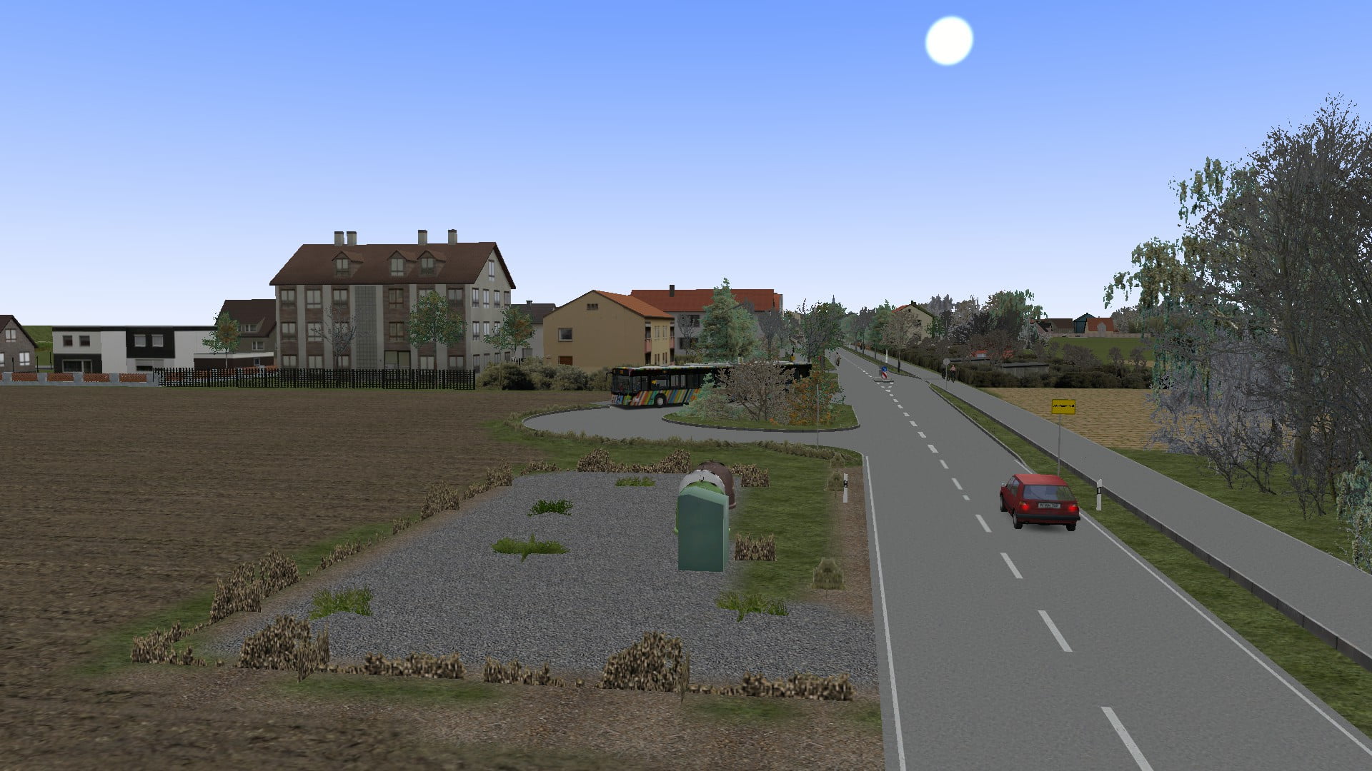
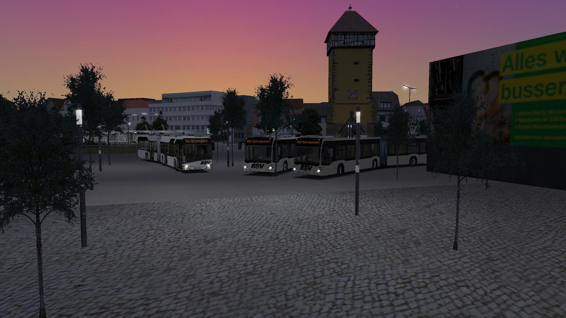
Realgetreuer Nachbau der Linie 9 des Reutlinger Stadtverkehrs im Stand 2018/2019
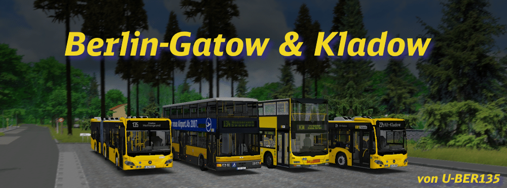
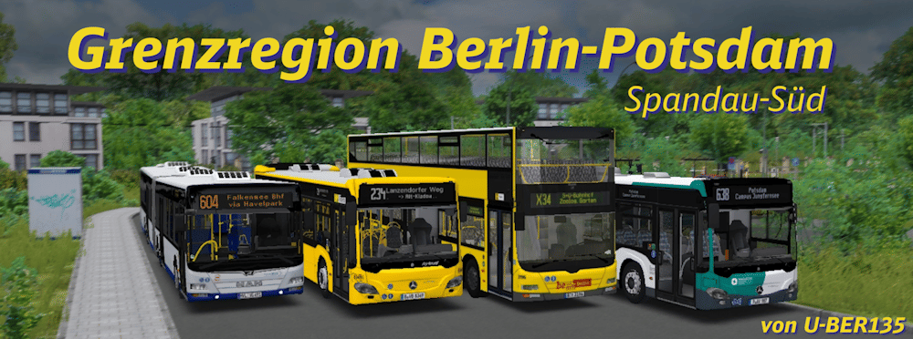
Berliner und Potsdamer dürfen sich freuen! Ihr dürft die Bewohner um die südliche Berlin-Spandauer & Potsdamer Stadtgrenze umherkutschieren und dabei die vielfältige Landschaft bestaunen.
Wish to download? Check out the newest version: https://reboot.omsi-webdisk.de/file/14828-budapest-65-65a-165/ Möchtest du es herunterladen? Schau dir die neueste Version an: https://reboot.omsi-webdisk.de/file/14828-budapest-65-65a-165/
Wer hier eine chaotische Großstadt erwartet, ist hier fehl am Platz. Bring die Bewohner von Kladow nach Gatow. Für alle Potsdamer, ist aber natürlich auch eine Fahrt nach Sacrow möglich.
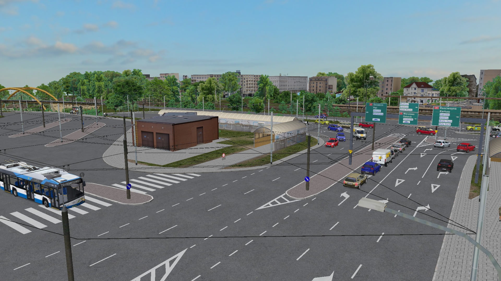
Realistic map depicting line 160 in Gdynia (Polish city located on the Baltic Sea). The map includes a shortened variant of the real route of Line 160.
Ein Reupload der Karte Berlin-Spandau M&Z des Entwicklers Zane
This map includes the central part of the city, and the northern suburbs. All bus lines are real ones. Beside driveble ones, the map contains all AI lines that opreate in and around the city within public transport company „JGSP NOVI SAD“.
Dies ist eine umgebaute Ruhrgebiet Map This is a converted Ruhr area map Es werden viele neu Linien & abgeänderte Linien geben
We are developing Oslo Øst in Norway and starting with the line 87, give it a try!
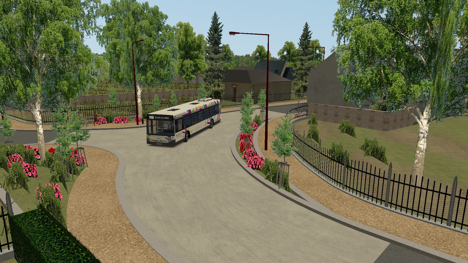
FR: Voici la carte Horizon Châteauroux Métropole ! Elle possède 12 lignes avec des environnements variés ! EN: Here is the Horizon Châteauroux Métropole map! It has 12 lines with varied environments!
EN : French Map of french bus Bordeaux - 1 Linies available FR : Map française du réseau de Bordeaux - 1 Lignes disponibles
EN : French Map of french bus network - 2 Linies available FR : Map française du réseau de bus Grand R' - 2 Lignes disponibles
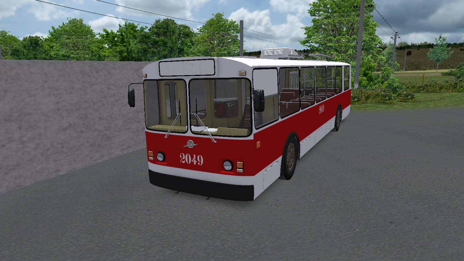
EN: The only village with its own trolleybus network. CZ: Jediná vesnice s vlastní trolejbusovou sítí.
Das Jahr 2019 - die Halde Hoheward in Herten, auch unter dem Namen "Neue Horizonte" bekannt, bildet den Mittelpunkt der Städte Recklinghausen, Herten und Herne.
Willkommen zurück im Jahr 2017! Die Linie 634 Existierte bis Ende 2017, zum Jahres Ende 2017 wurde die Linie 634 wegen zu geringere Fahrgastzahlen eingestellt. Die Map Spielt im Letzten im Letzten Betriebs-Jahr, der Linie 634.
Eine reale Karte für OMSI 2 welche die Stadt Gelsenkirchen darstellt. Der Spieler erhält die Möglichkeit, 3 realistisch nachempfundene Stadtbuslinien der BOGESTRA zu fahren. Es gibt reale Fahrpläne, Ansagen und eine realistische Hof Datei.
A huge real map of the South Pest region of Budapest, with 15 drivable line, a bus depot and Budapest International Airport.
Eine neue Karte im Berliner Nordosten! Fahre die Linien durch den Prenzlauer Berg Kiez, Weißensee bis raus nach Blankenburg!
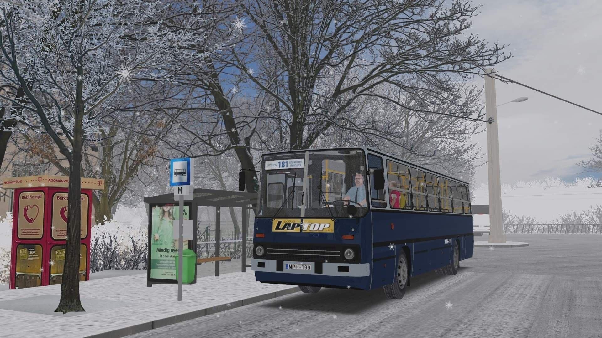
This is a real line from Budapest, which is the IX. district, between the Jozsef Attila housing estate and Aszodi street.
Dies ist eine erweiterung zur Map Ruhrgebiet. Es werden viele neu Linien & abgeänderte Linien geben im Stand 2020 . 3 Linien sind größtenteils fiktiv gemacht.Dies ist ein geupdatete Version .
Dies ist eine erweiterung zur Map Ruhrgebiet. Es werden viele neu Linien & abgeänderte Linien geben im Stand 2019 . 3 Linien sind größtenteils fiktiv gemacht
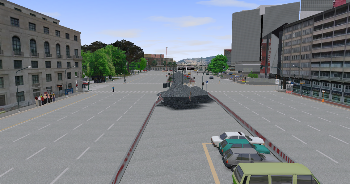
The first REALISTIC Italian map. Drive and play in the iconic italian city of Genoa!
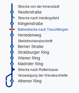
!!! Diese Mini-Karte enthält weder eine vollständige Linie noch einen Fahrplan. !!! Heuchelhof ist ein Stadtteil im Süden Würzburg. Enthalten ist ein Teil einer realen Straßenbahnlinie (Linien 3/5).